
AndesMap
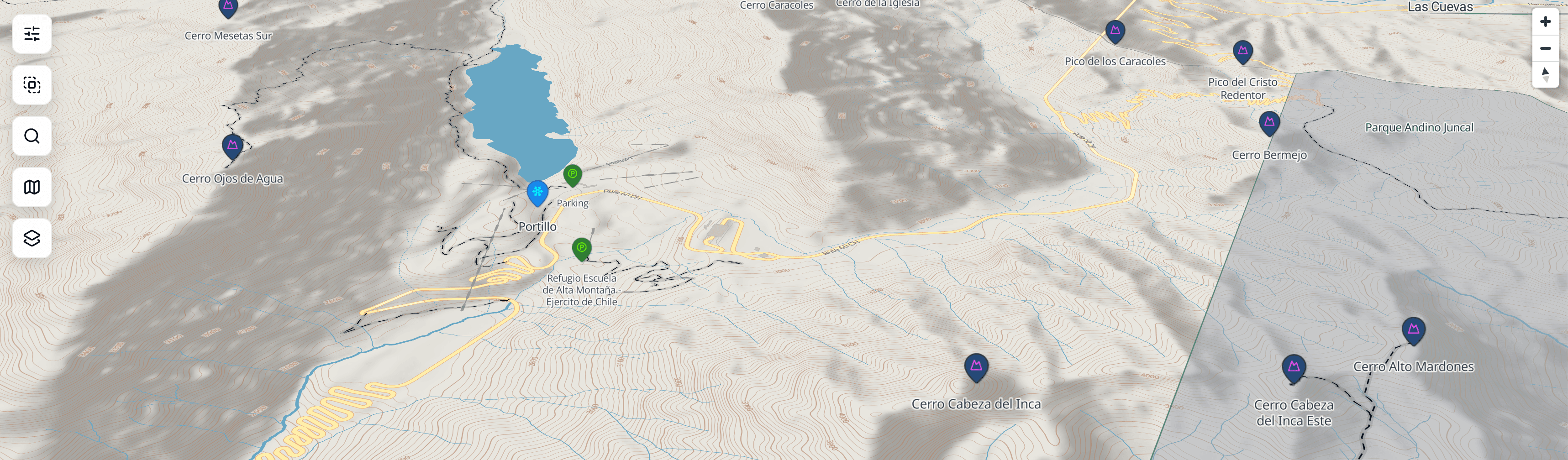
A focused map for ski mountaineering, volcanic exploration, and access planning across the Andes.
Routes, objectives, protected areas, and access points — organized to support real decisions, not visual noise.
Built by Eduardo Belluti, combining geospatial data, product design, and engineering. Read the project case study.
What people use AndesMap for
Objective planning
Compare ski routes, volcanoes, and terrain context before choosing a line or summit.
Access & logistics
Understand where people actually park, approach from, and transition on foot or skis.
Exploration
Discover peaks, volcanoes, and protected areas you might not find on general-purpose maps.
AndesMap is evolving
Before adding more features, the goal is to understand what matters most. Your feedback directly influences what gets built next.